NextFrontier: Why geospatial data is becoming the new bedrock of ESG intelligence
Sponsored by InspiredGeospatial data is transforming ESG from self-reported claims into verifiable, investment-grade evidence – Alastair Greener talks to Oxford University researcher Dr Amani Maalouf about satellite-based insights into environmental risk
NextFrontier: Why Geospatial Data Is Becoming the New Bedrock of ESG Intelligence – Episode 5
Dr Amani Maalouf, Senior Researcher at the University of Oxford
NextFrontier: Why Geospatial Data Is Becoming the New Bedrock of ESG Intelligence – Episode 6
Dr Amani Maalouf, Senior Researcher at the University of Oxford
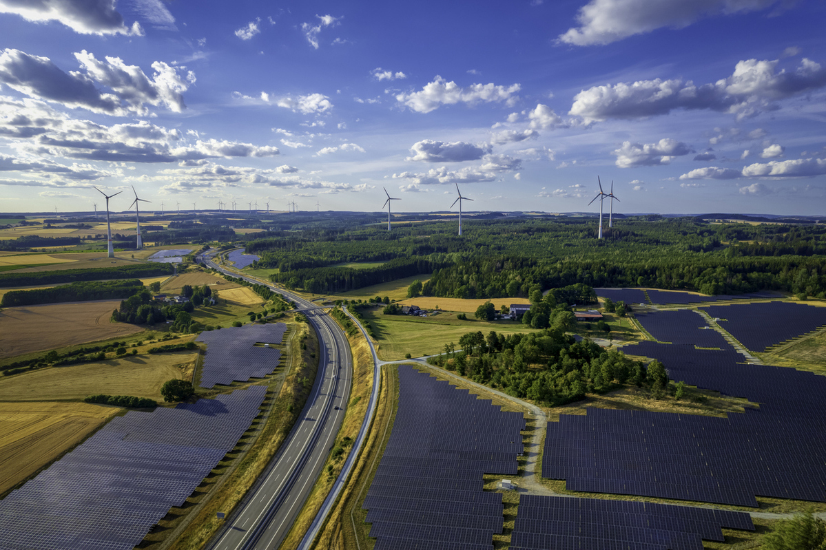
Geospatial data is quietly redrawing the map of environmental, social and governance (ESG) analysis, replacing company narratives and national averages with granular, independently verifiable evidence from space. What was once invisible, such as methane leaks, illegal deforestation and exposure of vulnerable communities to pollution, is now measurable, comparable and actionable for investors, regulators and executives.
Analysts can derive geospatial intelligence from satellites, drones and sensors that directly observe physical reality. As Dr Amani Maalouf, a senior researcher in spatial finance at Oxford University, explains, this shift allows analysts to move from what companies say to what is actually happening on the ground, often in real time. Methane, for example, is invisible to the naked eye but detectable from orbit, revealing unmanaged landfills and waste sites that often do not appear in corporate sustainability reports or national greenhouse gas inventories.
“The implications for risk management are profound. By overlaying satellite imagery with asset locations, supply-chain data and hazard models, geospatial tools can pinpoint which factories sit on floodplains, which suppliers are linked to deforestation and which neighbourhoods are exposed to extreme heat or air pollution,” says Dr Maalouf. This specificity turns climate risk from a regional abstraction into a site-level financial liability or opportunity. Small, targeted investments in the highest-risk assets can avert large losses, lower insurance premiums and unlock cheaper financing.
Geospatial data also strengthens the social pillar of ESG, an area long criticised for its vagueness. Mapping settlement patterns against infrastructure availability identifies communities lacking clean water, sanitation or electricity, and shows how pollution burdens often fall on low-income areas. By linking environmental hazards to schools, hospitals and population density, analysts can present municipal leaders and investors with a clear equity case for intervention and a defensible rationale for allocating capital.
This growing visibility is reshaping corporate accountability. Satellite-based verification makes greenwashing harder to sustain. If a company reports low emissions while independent data shows methane plumes or forest loss at its sites, the discrepancy becomes a red flag for investors. Multiple open datasets pointing to the same conclusion reduce the scope for selective disclosure and strengthen the evidentiary basis for regulatory scrutiny.
Yet the rise of geospatial oversight raises questions about ethics, privacy and security. Ultra-high-resolution imagery can reveal sensitive details, prompting concerns over surveillance and national security. The industry response, Maalouf argues, lies in restraint: focusing on aggregated environmental signals rather than individuals, adhering to clear ethical standards and ensuring transparency and community engagement so that data does more good than harm.
Access remains another fault line. While public agencies such as NASA and the European Space Agency provide free baseline data, the most detailed near-real-time imagery is often behind commercial paywalls and requires technical expertise to convert raw pixels into decision-ready insights. Still, the direction is clear. As tools improve and regulations tighten, geospatial intelligence is shifting from a “nice-to-have” innovation to a de facto requirement for credible ESG analysis.
“For investors, the message is increasingly complex to ignore: what cannot be measured can no longer be managed – and what can be seen from orbit is becoming impossible to explain away,” concludes Dr Maalouf.
NextFrontier: Rethinking the ESG Investment Case - Episodes 1 & 2
NextFrontier: The business case for ESG - Episodes 3 & 4
NextFrontier: The Most Valuable Asset on No Balance Sheet - Episode 7
NextFrontier is brought to you by Inspired

Business Reporter Team


Most Viewed
Winston House, 3rd Floor, Units 306-309, 2-4 Dollis Park, London, N3 1HF
23-29 Hendon Lane, London, N3 1RT
020 8349 4363
© 2025, Lyonsdown Limited. Business Reporter® is a registered trademark of Lyonsdown Ltd. VAT registration number: 830519543